Offered Services:
Geo-monitoring, rockfalls, landslide areas
Rock walls and cliffs line many a road and can often threaten transport infrastructure and thus human lives. In turn, many structures, whether transport or energy, are threatened by unstable bedrock or potential landslides. With our systems using highly accurate inclinometers or our unique GEOSNAKE system, we can monitor even small changes and see trends based on long-term monitoring.


How does it work?
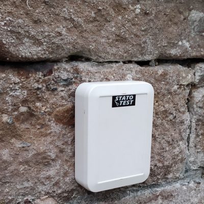
The Statotest monitoring system continuously monitors the exact position and its change over time with high accuracy through sensors. The data is collected by our software, evaluated and displayed for the customer: from us you receive not only data, values, but also information for your decision-making and trends. Data is sent regularly and evaluated in real time, notifications of important events are sent according to preset limits and to selected channels (SMS, email). Our sensors can be mounted almost anywhere and are not dependent on power supply.
Why choose Statotest?
- Innovative and sophisticated cloud-based portal for managing all your monitored sites with the possibility of intelligent filters and exports, preview management, documentation insertion, photo documentation, integration of digital twin elements, etc.
- Customization according to the needs of each application, easy customization / extension thanks to our developed sensors.
- Easy installation, low installation and operating costs.
- On-line data in graphs 24/7.
- Mobile app for smart on-site device management.
- Quick evaluation in customer reports – we don’t just deliver values, you get the information to make informed decisions.
- Comprehensive information on site behavior to plan, prioritize and make informed decisions
- Immediate alerts in emergency situations (SMS, Email) to implement corrective actions.
What can we monitor?
- Rock walls and geological formations
- Subsoil: under
- construction, next to construction, before construction starts (during the investor’s decision-making phase on the location of construction)
- ground walls
- movement of the whole area, e.g. former areas affected by mining using satellite data, GNSS, etc.
- potentially landslide-prone areas
Are you interested in our GEOSNAKE? Or how our monitoring system uses satellite data?
You can find references of already implemented projects here.
If you want to know more, please do not hesitate to contact us or arrange a free online consultation.