
Permanent GNSS monitoring
Statotest GNSS
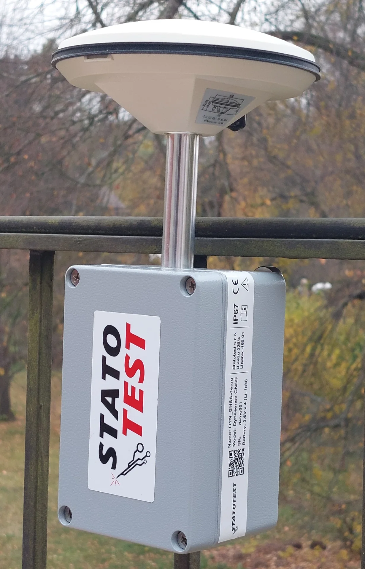
A device for long-term, permanent GNSS monitoring. It tracks the absolute position and movement of large areas, structures, landslides and undermined areas in real time — with a Septentrio Mosaic or U-Blox ZED-F9P chipset on the L1, L2 and L5 frequencies.
Contact usMore precise positioning in real time (RTK) or via post-processing (PPP)
GPS, GLONASS, GALILEO and BEIDOU simultaneously
The fastest setting measures every second
Optional high-resolution analog input for supplementary sensors
About the product
Statotest GNSS is a professional device designed for long-term, permanent position monitoring using global navigation satellite systems. It uses a Septentrio Mosaic or U-Blox ZED-F9P chipset with support for all four major constellations — GPS, GLONASS, GALILEO and BEIDOU — and an optional RTK or PPP mode for more precise positioning. Multi-frequency support covers the L1, L2 and L5 bands.
Connectivity is provided via a 2G + 3G + 4G GSM modem or a fixed UTP line, supplemented by Bluetooth for local configuration and diagnostics. The data transmission interval to the Statotest cloud is configurable in the range of 1 minute to 1 hour. The device is powered at 12–24 V / 1 A; a solar panel and battery can optionally be added for fully autonomous operation without network access.
Optional expansion sensors can be connected: an inclinometer, accelerometer, thermometer, soil sensor or 24-bit ADC converter for measuring additional analog variables. Typical deployment: long-term monitoring of absolute position, movement of large areas, structures, landslides and undermined areas.
Technical specifications
| GNSS chipset | Septentrio Mosaic or U-Blox ZED-F9P |
| Satellite systems | GPS + GLONASS + GALILEO + BEIDOU |
| Hardware channels | 448 channels, multi-frequency, multi-constellation |
| Supported bands | L1, L2, L5 |
| Positioning mode | optional RTK or PPP |
| GPS | L1C/A, L1PY, L2C, L2P, L5 |
| GLONASS | L1CA, L2CA, L2P, L3 CDMA |
| Galileo | E1, E5a, E5b, E5, AltBloc |
| BeiDou | B1I, B1C, B2a, B2I, B3 |
| QZSS | L1C/A, L2C, L5 |
| NavIC | L5 |
| SBAS | WAAS, EGNOS, MSAS, GAGAN, SDCM (L1, L5) |
| Connectivity | 2G + 3G + 4G GSM modem, UTP, Bluetooth |
| Measurement interval | 1 s, fully adjustable |
| Cloud connection interval | 1 min to 1 hour |
| Power supply | 12–24 V / 1 A |
| Optional power supply | solar panel + battery (fully autonomous operation) |
| Optional sensors | inclinometer, accelerometer, thermometer, soil sensor, 24-bit ADC |
| Datasheet revision | 0225 |